Menengai Crater
Menengai Crater
Summary| Distance from Nairobi | About 180km |
| Starting Point | Menengai Crater Viewpoint |
| Ending point | Menengai Crater viewpoint |
| Walking Duration | 4 hours |
| Terrain | Dirt trail to the caldera floor, and a very steep scramble back up the escarpment. |
| Difficulty | Moderate |
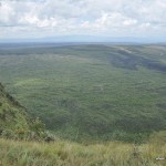
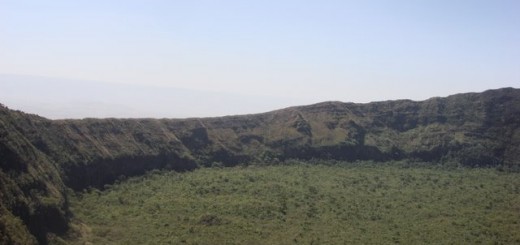
The spectacular Menengai Crater (actually a caldera) draws visitors from far and wide with its massive circular rim, plunging cliffs, and the rugged terrain on the caldera’s floor. Situated on the outskirt of Nakuru town, about 2 hrs drive from Nairobi, it is easily accessible for a day hike or day out from the city.
The Menengai caldera is estimated to have been formed about 8,000 years ago, with numerous post-caldera volcanic eruptions giving rise to cones spread throughout the caldera’s floor. At its highest, the caldera walls rise to a staggering height of 500m from the floor.
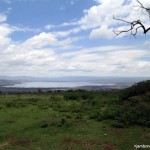
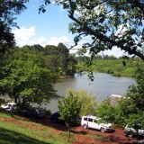
- View of Lake Nakuru
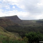
- Lions head cliff
- Menengai Crater rim
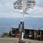
- Menengai viewpoint
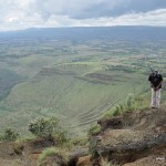
- Menengai caldera floor
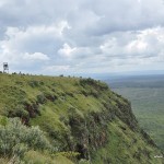
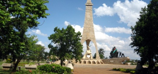
- watchtower on the menengai rim
Globally, Menengai is considered to be one of the largest volcano calderas. In Africa, it is only surpassed by Ngorongoro crater, while in Kenya, it is the largest with a diameter of 12km at its widest and 8km at it’s narrowest.
Route Description
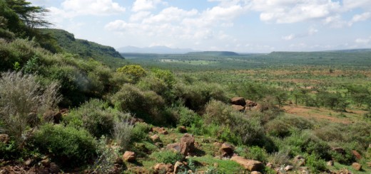
Visitors to Menengai Crater typically drive or walk 8km from Nakuru town to the highest point on the rim of the caldera, the Viewpoint, at an altitude of 2278m above sea level. As you gain height while ascending the slope to the Menengai crater rim, a glance backwards is rewarded with a fantastic distant view of the glimmering Lake Nakuru on the edge of Nakuru town. Once you get to the Menengai Viewpoint, the sweeping views of the expansive caldera are pretty impressive. Sadly, this panorama has lately been marred by newly drilled Geothermal wells, and a web of steam pipelines and earth roads crisscrossing the caldera floor. These are part of the infrastructure for a new Geothermal power plant built in Menengai to boost Kenya’s power production capacity. It seems the unrelenting march of technological advancement has little regard for natural beauty.
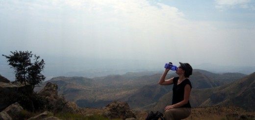
For the adventurous souls, a hiking trail starting from the Viewpoint weaves its way steeply downward to the caldera floor. A few Maasai herdsmen often drive their livestock to this desolate part of the volcano, otherwise there are no settlements down there. Presumably, the local scary folklore keeps most people afraid of venturing into the bowels for this enormous, mysterious, ominous geological formation.
After a short flat section, the climb out of the caldera begins at the lion’s head cliff, and quickly morphs into a sharp ascent for a whopping 500m to the top. It will take you 4 hours, give or take some minutes, for the round trip back to the Viewpoint.
Getting There
If using public means from Nairobi, take Nakuru matatus at Nyamakima Stage off River Road. Once in Nakuru, you’ll need to hire a taxi or matatu to take you to the Menengai Crater viewpoint.
If driving from Nairobi, use either the upper or lower escarpment roads to Naivasha and drive on to Nakuru. At the first roundabout after the Nakuru Railway Station, make a U-turn and take the first left turn, then follow the signposts to Menengai Crater. You’ll find a Kenya Forest Service (KFS) barrier halfway up the road to the Crater viewpoint, where you’ll make the required entry payment.
Guides
Menengai Crater Conservation Youth Group on +254 0722 695499.
Paul, PK’s Crater Tours on +254 0726 280016, or
Entry Requirements
The Kenya Forest Service (KFS) charges Ksh 200 (residents rate) per person for access to Menengai Crater. Other rates apply for non-residents.
