Caves and Hiking on Chyulu Hills
Revised November 2014
Summary| Distance from Nairobi | About 200km |
| Starting Point | Chyulu Hills Park HQ or Satellite |
| Ending point | Chyulu Hills Park HQ or Satellite |
| Walking Duration | Variable |
| Terrain | rocky terrain in the lower sections, loose gravelly ground in the upper sections. |
| Difficulty | Easy to Moderate. |
Kenya’s highest mountains easily overshadow the crouching Chyulu Hills on the boundary of Amboseli plains and Tsavo plains. Rising to an altitude of 2188m at its highest, this 150km long mountain range situated 200km southeast of Nairobi was hived off the massive Tsavo West National Park in 1983 and its eastern slopes gazetted as Chyulu Hills National Park. What was so distinctive about it to merit this honour?
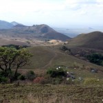
- Birds-eye-view satellite campsite
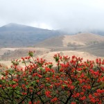
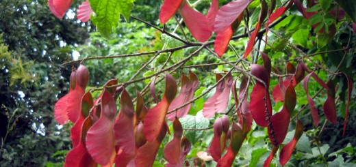
- A spectacular red hot poker tree
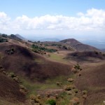
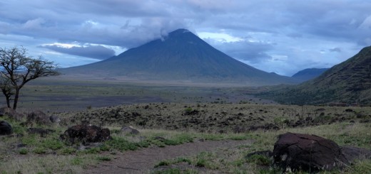
- Rounded hilltops
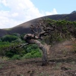
- A wind swept tree
- Tree groves on Chyullu Hills
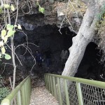
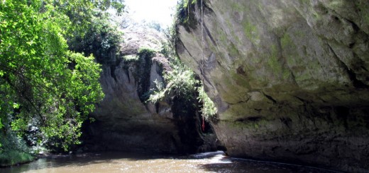
- Entrance to Leviathan
As it turns out, while its neighbour Mt Kilimanjaro about 70km southwest is the highest mountain in Africa, Chyulu Hills has the deepest known lava tube cave in the world. Some of its volcanic eruptions occurred as recently as 240 years ago, leaving behind the extensive Shetani lava flow and Chaimu Hill (and crater), both covered in black solid magna that is still barren and unweathered. Among the local community, the eruptions are still the subject of legends of evil spirits spewing fire from the earth.
Kisula Caves Complex
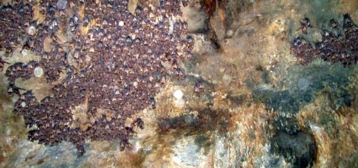
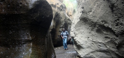
Numerous lava tube caves, collectively known by the local community as Kisula Caves, criss cross the depths of the Chyulu Hills. Extensive exploration of one of these, the Upper Leviathan Cave, by the Cave Exploration Group of East Africa established it as one of the world’s longest caves with a maximum length of 11.15 km, divided into two segments of 9.15 km and 2.0 km. An international standard used by Rodney L. Crawford to rank the World’s Longest Lava Tube Caves places the Upper Leviathan Cave at third position.
These caves have put Chyulu Hills on the world map, attracting visitors from all over the world coming to explore them, and hike through the stunning landscape with views of the majestic Mt Kilimanjaro in the distance. Staircases have been constructed at some of the openings into the caves making them easily accessible.
From the Chyulu Hills National Park Headquarters, you can get to one of the entrances to the Kisula caves after a 15km hike through the rugged unspoilt countryside. This should take you between 3 to 4hrs one way The route is motorable the whole way, making the caves accessible by 4 wheel drive vehicle.
Being a National Park, the area is teeming with wildlife, so you would be well advised to get armed escort from the Kenya Wildlife Service (KWS). And while you are at it, insist on getting a KWS ranger who is familiar with and willing to guide you inside the caves. Apparently, some of the rangers are superstitious about caves, and unwilling to accompany visitors down below.
Hiking
One of the ideal basecamps for hiking on Chyulu Hills is “Satellite”, once a training base for the British Army. This dry campsite location at an altitude of 1900m is located about 35km from the Chyulu Hills National Park headquarters. Remnants of structures built by the British army, including telecommunication masts on the adjacent hill and storage tanks, are still evident on the site.
During the months of May to July and October to December following the long and short rains respectively, the Chyulu Hills come to life with a new growth of grass, in sharp contrast to the scorched earth prevailing during the rest of the year. Communities living adjacent to the Chyulu Hills have a practice of starting bush fires during dry seasons to get rid of the long brown dry grass that grows here, and make room for the inviting tender new growth after the rain that is ideal for grazing their livestock. This is the best time to come hiking on the Chyulu Hills. In October to December, you’ll also find generous splashes of the spectacular red hot poker trees (Erythrina Abyssinica) in bloom decorating the plains and depressions between rounded hilltops that make up most of the landscape.
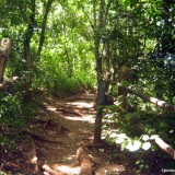
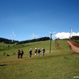
While there are no set hiking trails on Chyulu Hills, you’ll find numerous animal trails crisscrossing the open undulating landscape, providing convenient routes to take as you explorer this wide open wilderness. With the whole of the Chyulu Hills Mountain Range spanning over 100km from one end to the other, you’ll be spoilt for choice of directions to go wandering, hills to climb, and views to behold. Instead of dramatic cliff drops and deep valley, you’ll find gentle rolling hills, groves of trees at the intersections between hills, and fantastic views all round. You’ll find curious natural phenomena like hills divided into two halves, one covered with grass and the other a forest, presumably as a result of winds not blowing bush fires to every corner of the hill.
An interesting feature of the Chyulu Hills is that it has no surface rivers, yet it’s the water catchment area for the surrounding plains. Its porous surface acts like a sponge, with all rainwater percolating into underground reservoirs, only to emerge about 50km due south at Mzima Springs in Tsavo West. It is estimated that the water takes 25 years to flow underground from the Chyulu Hills to Mzima Springs. Another oasis at the foot of the Chyulu Hills also benefitting from this catchment is Umani Springs, the lifespring of the lush 18,000 acre Kibwezi Forest to the North East of the mountains.
Getting There
If using public means from Nairobi, take Kibwezi matatus from Gwasi Rd next to the Tuskys Building (former OTC) off Race Course Road, and alight at Kibwezi market, about 190km from Nairobi. The fare is about Ksh 500. From here, take matatus heading to Mtito Andei and alight about 1km from Kibwezi turnoff, at the sign posted junction to Chyulu Hills National Park. You’ll then walk 9km from the Mombasa Road junction to the campsite at the Chyulu Hills National Park Headquarters. Alternatively, you can get a boda boda from Kibwezi to take you to the campsite.
If driving from Nairobi, take Mombasa Road and drive past Machakos turnoff, Emali, Sultan Hamud, Makindu and the Kibwezi turnoff. A further 2km from Kibwezi turnoff, turn on to the sign posted road on your right and drive another 9km to the campsite at the Chyulu Hills National Park Headquarters. A further 35km up the hills on a rocky track motorable only by 4WD is the Satellite campsite.
Satellite campsite on Chyulu Hills can also be accessed through Loitokitok Road. Drive up to Mbirikani road block and turn left to Chyulu Hills (signposted). This route takes you through Mbirikani Group Ranch, who are authorized agents for KWS. Call John Kilitia in advance on 0700917502 if planning to use this route, so they can process your park entry.
Accommodation
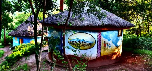
Camping; If you have a tent, you can pitch on the KWS campsite near the Park Headquarters. Facilities at the campsite include tap water, a sheltered kitchen, toilet and a shower.
Visitors can also camp halfway up the hills next to the caves entrance, or at the top at “Satellite”. These sites don’t have water or any facilities, so one must bring sufficient water for the duration of their stay. You can only access them by 4WD.
Entry Requirements
Visit the following KWS website link for the latest Park entry and camping fees for this National Park.
