Mathews Range Hiking, Wamba Route to Warges Peak
| Distance from Nairobi | About 375km |
| Starting Point | Wamba Centre |
| Ending point | Wamba Centre |
| Walking Duration | 10 hours |
| Terrain | Dirt trails, with steep rocky sections close to the summit |
| Difficulty | Moderate |
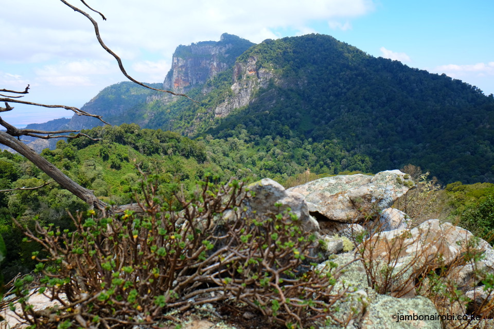
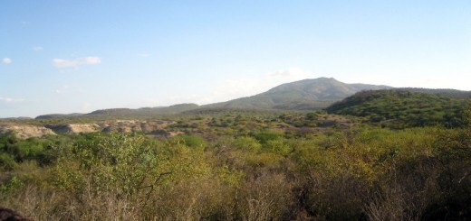
The Mathews Range, aptly called a sky island, soars from the northern frontier plains between the desolate desert to the north as you head towards Lake Turkana, and the busier Laikipia plains to the south. It stretches over 150km north to south, with Ndoto Mountains to the north, and the flat-topped Ololokwe Mountain to the south.
Within its folds are numerous river valleys, springs, and dramatic crags including its highest, the 2688m high Warges Peak to the south, Oldonyo Lenkiyo at 2375m, and the breast shaped hill known as Sweet Sixteen in the middle. Mathews Range is part of the Namunyak Wildlife Conservancy, operated by the local Samburu community, which seeks to protect its natural forest, and the local wildlife that includes Elephants, Buffaloes, Rhinos, among others.
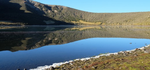
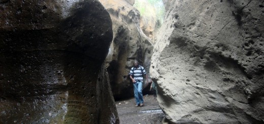
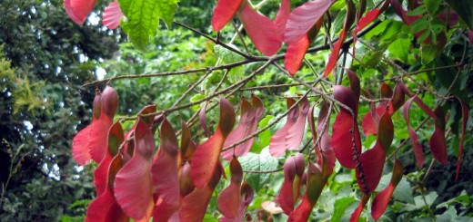
Aside from the local wildlife, Mathews Range, due to its remote location, is home to some endemic plant species in its natural forest, and magnificent rock pools that fill up with crystal clear water in the months following the rainy seasons.
Route Description
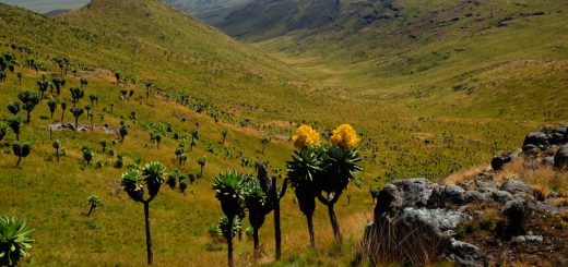
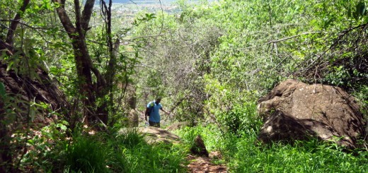
The trail from Wamba Centre to Warges peak starts off in the shadows of the morning sun, as you follow a seasonal riverbed recently choked dry by a huge dam constructed not far upstream. Past the dam, it continues following the river course, framed by dryland bushes adapted to the hot scorching sun of the area. Soon, the vegetation gets more varied as impressive stands of Candelabra trees (Euphorbia candelabrum) reach into the sky, lending the landscape an otherworldly appearance. Other unique flora in the area include the endemic Giant Cycad, believed to have survived unchanged since the age of Dinosaurs. Some of the boulders jutting from the grounds also stand out with their brilliant orange or red hues, contrasting the predominantly dirty grey rocks all around, as if painted into the landscape by an artist’s brush.
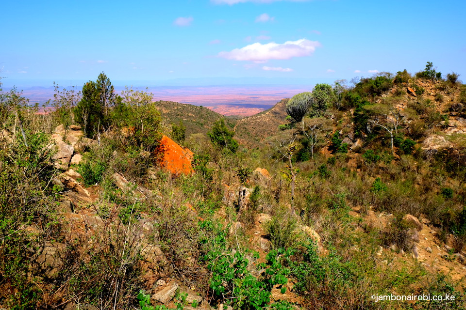
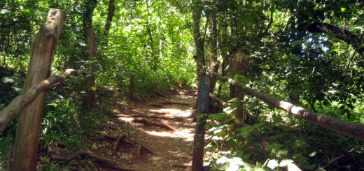
As you get higher, and temperatures drop due to altitude, the forest composition gradually morphs with Cedar, Podocarpus, and Croton Megalocarpus trees taking over to form a thick canopy. The gradients also get steeper, with rivers in this part of the forest having a permanent water flow, and steeper banks. The vegetation is lush here from the increased moisture, and the absence of human activities this high up, save for the occasional honey gatherers.
Finally, the trees thin out, with massive rocks taking their place as you approach the summit. With a bit of bouldering, you then get to hoist yourself onto the top of Warges Peak, the highest point on Mathews Range, six hours from the starting point at Wamba Centre.
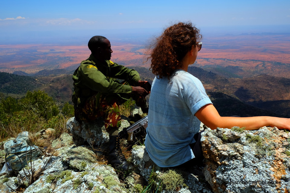
The round trip to the summit takes about 10 hours, with a walking distance of over 25km depending on your exact route, and an elevation gain of about 1,100m.
Getting There
If driving from Nairobi, take Thika Highway and go past Nanyuki, Isiolo and Archer’s Post. About 20km further on, turn left onto the rough road heading to Lake Turkana. Wamba Centre is 45km from this turn off. The condition of this road requires that you have a 4WD vehicle.
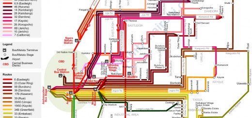
If using public means, take Isiolo matatus (shared taxis) from Accra Rd in Nairobi. From Isiolo, you can get matatus heading to Wamba Centre.
Accommodation
Budget B&B at Wamba Centre.
The Namunyak officials can also make arrangements for you to sleep at the deserted research facility near the KWS office on the outskirts of the Wamba Centre.
Guide
Contact the Namunyak Wildlife Conservancy through the following contacts. They’ll provide you with armed Guides/Rangers.
Namunyak office 020 2349128
Namunyak Manager 0712 942796
Entry requirements
Namunyak Wildlife Conservancy rates for entry, Ranger, and camping apply.
