Shompole Hill, Southwestern Ridge
| Distance from Nairobi | About 160km |
| Starting Point | Ewaso Ng'iro banks below hill |
| Ending point | Ewaso Ng'iro banks below hill |
| Walking Duration | 4-5 hours |
| Terrain | Rocky, scree in some sections |
| Difficulty | Moderate |
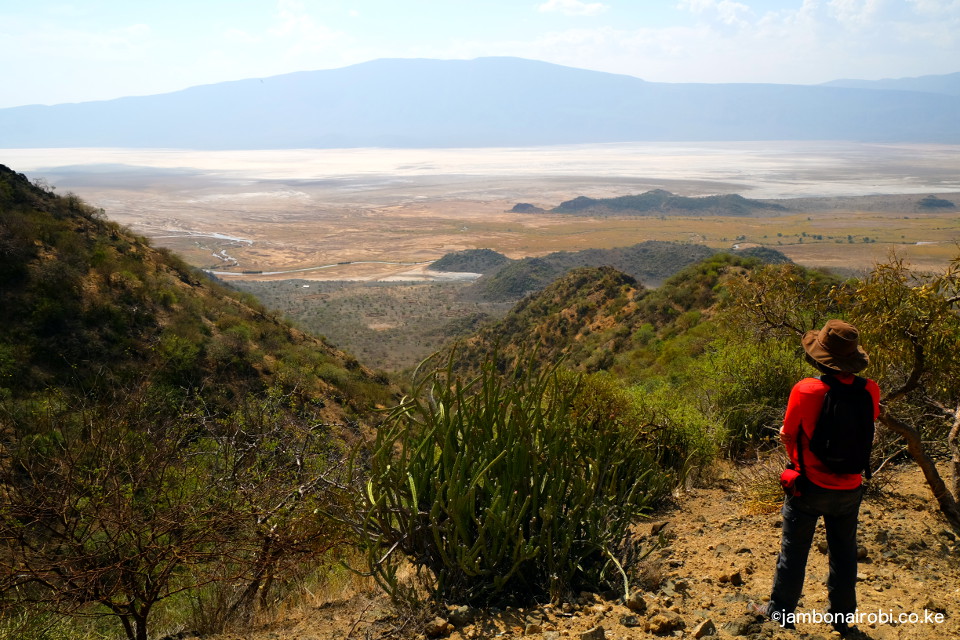
The single biggest attraction for Shompole Hill is its location on the northern edge of Lake Natron. From its heights, you get unforgettable views of the impressive delta/swamp created by the Southern Ewaso Ng’iro river, as it empties into the lake at the end of its long journey, over 200km from the Mau Escarpment.
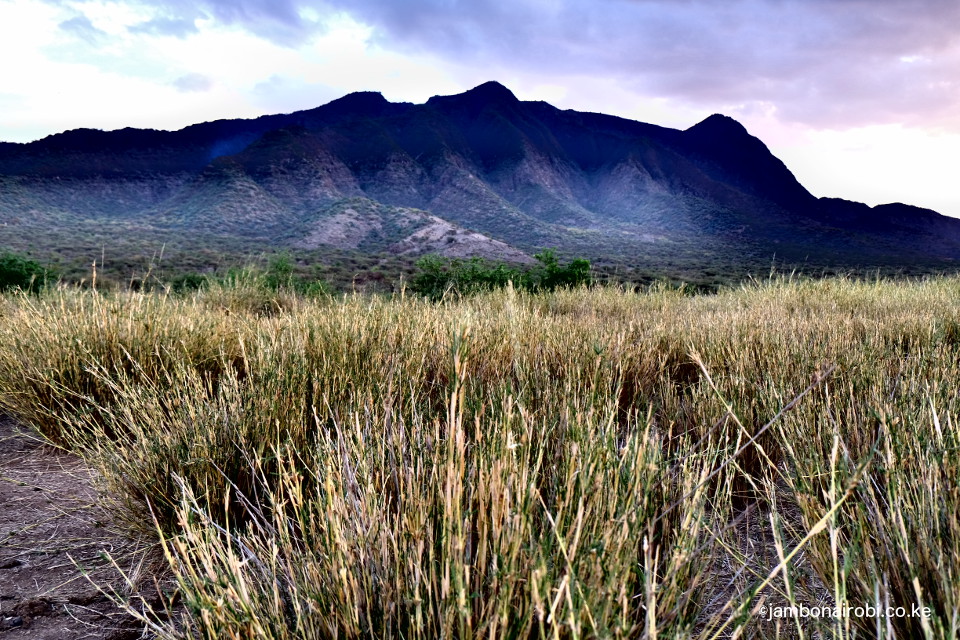
Route Description
Several ridges offer possible routes for scaling Shompole Hill. However, most of them are not continuous, broken by perilously deep gulley’s, frustrating any efforts to reach the summit. The southwestern ridge described here is one such route, so if your purpose for climbing is to plant your flag on the summit, you’d be wasting your time. However, if you are interested in some of the most amazing views of Lake Natron’s shores on the Kenya-Tanzania border, then you’ve come to the right place.
Your first hurdle is walking over about 1km between the Southern Ewaso Ng’iro river and the foot of the southwestern ridge. This entails gingerly stepping over rocks, occasionally getting your foot caught and tripping over, and basically learning to push on no matter how uncomfortable the going gets. This ends at a seasonal river crossing where the climb begins.
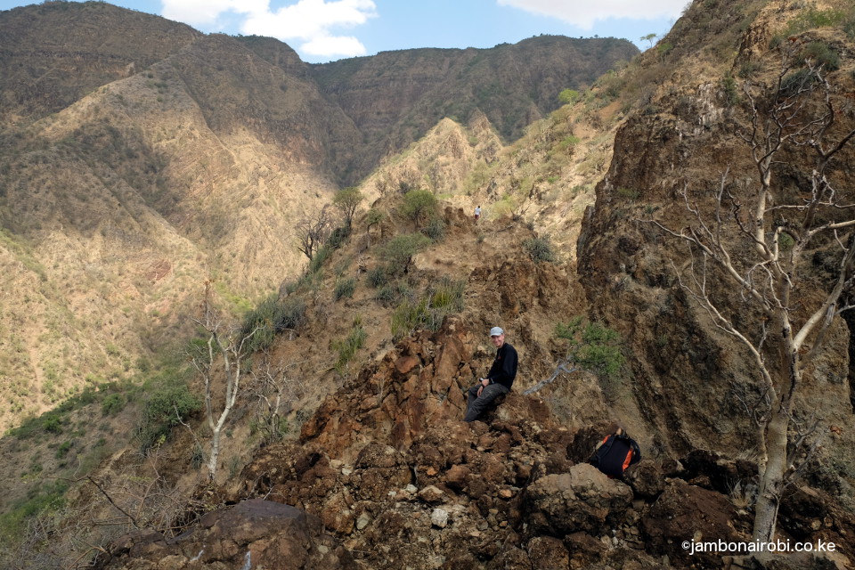
- On Shompole Hill
- View of Lake Natron
- View of Floodplains
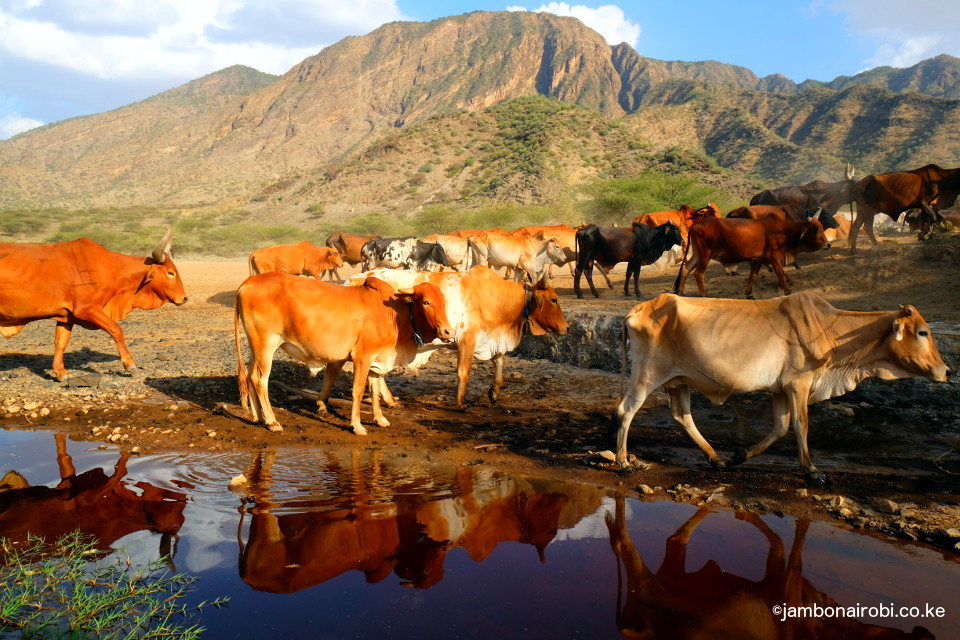
The next 2 to 3 kilometers are a series of sharp climbs over a gravelly trail, with thorny dryland bushes pulling on your long-sleeved T-shirt, or leaving red scratches on your exposed arms if you are not careful. Halfway into the climb, views of the white salt covered dry Lake Natron northern shores emerge, criss-crossed by brown tentacles of the muddy Southern Ewaso Ngi’ro waters as they flow into the lake. The red, yellow and green colours on the hillside dropping to merge with the white, brown and blue colours on the lake come together into a marvellous vision. Capping this image are round Maasai Bomas nestling between the hill and the lake, and views of the distant Nguruman Escarpment.
The climb soon turns into a series of drops, some over 10ft deep, and climbs over loose rocks, with sheer drops on both sides of the ridge. Negotiating these sections becomes increasingly dangerous, with the rocks coming off easily when pulled on, forcing one to be extra cautious. The trail eventually comes to an abrupt end at 1,100m above sea level, with the next hurdle, a 20 ft chasm separating this ridge from the rest of the Hill. To your right is a massive semi-circular depression in the shape of an amphitheatre, with the summit somewhere beyond the top of this structure.
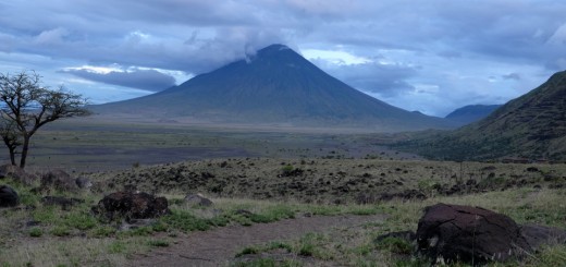
A previous visitor to Shompole Hill posted these excellent photos of the area, shortly after a rainy season.
Getting There
There is no public means to Shompole Hill. You’ll need a 4WD vehicle to get there.
From Nairobi, take Lang’ata Rd, then Magadi Rd and go all the way past Ongata Rongai, Kiserian, and Kona Baridi to the factory and town at Lake Magadi. Beyond Lake Magadi, the tarmac road is replaced by a murram track that go over the dry lake in some sections, then climbs out onto a dusty track going past Oloika centre and Shompole centre. When you see the bridge going to Shompole Conservancy, don’t go over it. Instead follow the track on the left hugging the river, until you get close to the southern edge of Shompole Hill, closest to Lake Natron.
Guide
Joshua – +254 721 847477. He’s a local guide based in Shompole.
Note: There is a turf war going on between local guides from Shompole, and a company at Lake Magadi that claims to have exclusive rights to handle all tours to Lake Magadi, Shompole and Nguruman. Ask the local guide to meet you at Lake Magadi, to avoid being forced to pay twice for your visit.
Accommodation
There are no serviced camps close to the hill. You’ll therefore need to bring enough water for cooking and drinking, as well as tents and any other camping equipment you may need. Select any suitable spot along the river to pitch your tent. Alternatively, you can book accommodation at the tented camps in Shompole Conservancy, some distance away from the hill.
Be sure to arrange for your Guide’s accommodation and food, or confirm with him if he’s able to make his own arrangements. The local guides often fail to ask for your assistance with these matters, yet still expect it from you.
Entry requirements
Conservancy fee Ksh 500 per person
Camping Ksh 500 per person
Guide fee Ksh 4,000
Security guard fee Ksh 2,000
There might also be a vehicle fee
