Aberdares Trekking, Njabini to Kinangop Peak
| Distance from Nairobi | About 90km |
| Starting Point | Njabini Forest Station |
| Ending point | Kinangop peak |
| Walking Duration | 2 days |
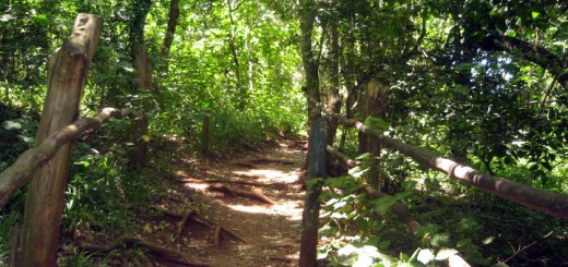
| Terrain | Dirt road leading to swampy trail in the bamboo zone. Animal trails through marshes in the moorland, with some rocky sections close to the summit. Stunning rock formations along the route. |
| Difficulty | High. You need to be reasonably fit to do this hike. |
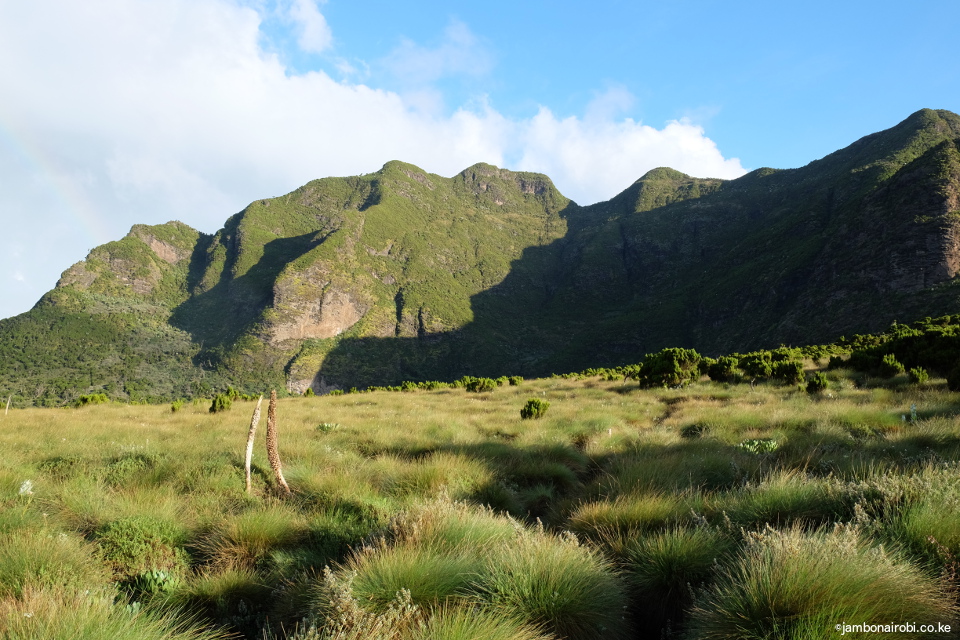
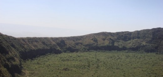
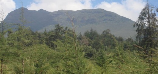
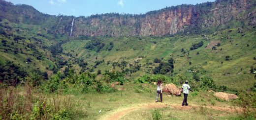
The breathtaking beauty of the Aberdares southern moorlands awaits those who go trekking from Njabini to Kinangop peak past the Elephant Hill. This is probably the steepest trail on the Aberdares range, with an elevation gain of over 1,700m. Those who’ve done the Elephant Hill hike will be familiar with part of the trail and the views to the south of the Aberdares. Once you go past the Elephant Hill, the landscape that unfolds before your eyes makes the herculean task of getting there worthwhile.
- Views from Kinangop summit
- Kinangop peak
- View of Elephant Hill
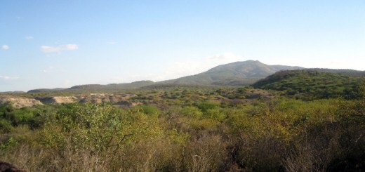
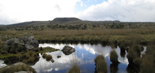
- Aberdares landscapes
- Mt Kenya view
Route Description
Day 1
The trail for this hike starts from Njabini Forest Station at an altitude of about 2,500m above sea level. It traces the Elephant Hill hiking trail all the way to its summit (3,600m asl), before descending sharply for about 200m onto the moorlands that characterize most of the Aberdares mountain range above the tree line.
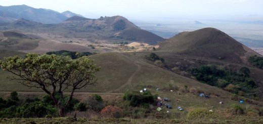
Marshes and streams traverse this expanse covered mostly in tussock grass and short giant heather. The presence of streams makes this location ideal for setting camp. Numerous volcanic knolls are scattered all round, most of which coincidentally have spectacular cliff drops on their western side. The Kinangop peak at 3900m above sea level is on the most prominent of these upsurges.
Approximate duration from Njabini to camp: 6 hours.
Day2
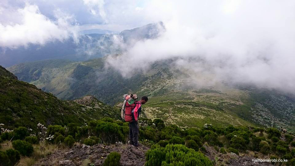
From the moorland, follow buffalo trails heading up a gently climbing ridge towards the Kinangop peak. Initially, these trails pass through marshy ground, which gradually gives way to rocky sections. This area is largely uncharted and unexplored, so you’ll occasionally have to push your way through bushes and tall grass, as you head in the general direction of the clearly visible Kinangop peak. The going is easier if you stick to the top of the ridge. As you get closer, the grass covered slope becomes steeper and harder to negotiate, right up to the base of the peak. The remaining 30m or so is a scramble up the steep sides of a rock formation; more like climbing a ladder. It may look intimating, but hopefully you’ll ignore the little voice in your head and take it on.
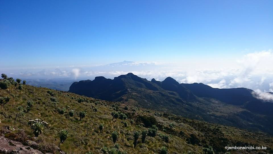
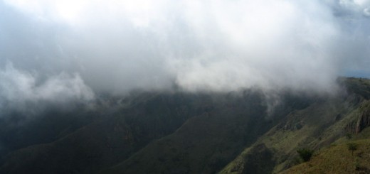
From the top, the views all round are incredible, with Mt Kenya clearly visible in the distance. The Table Mountain on the Aberdares can be seen to the north, the Elephant Hill to the south, and numerous other mounds and valleys, some shrouded in wispy clouds.
Approximate duration to the Kinangop Peak: 2 hours
Approximate duration from Kinangop Peak back to Njabini: 6-7 hours
Safety
Caution: Beware that the weather at this altitude can change for the worse very fast. Carry warm clothes and rain gear, and unless you are navigating by GPS, stop hiking if fog moves in. Be prepared for the worst.
Guide
KWS rangers are not trained as guides, and are generally not dependable. If you wish to meet your target, go with someone who knows the area well, or use GPS to navigate.
Getting There
If driving from Nairobi, use Nakuru Road on the upper escarpment for about 60km to a place known locally as flyover. Go over the flyover, then a few meters on, turn left at the next junction and drive about 24km to Njabini town. The Njabini Forest Station is 4km further on.
Entry Requirements
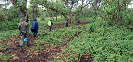
Visitors are required to be accompanied by armed escort from Njabini Forest Station. The official KWS tariffs for park entry and armed escort are applicable here. Call the Senior Warden, Aberdare National Park in advance on phone number +254 772 171 247, or send him an email on aberdaresw@kws.go.ke, to make arrangements for your visit.
Camping
You’ll need to bring your own tent and other camping gear for this hike. Ideal camping locations would be the moorlands between the Elephant Hill and Kinangop Peak. Water is available from little streams to the right.


