Mt Longido, the Northern Trail
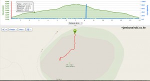
| Distance from Nairobi | About 195km |
| Starting Point | Manyatta north of the mountain, left side of the road, 10km before Longido town. |
| Ending point | Same as above |
| Walking Duration | 6 hours |
| Terrain | Steep dirt trail over dryland forest that changes to a cool tropical forest halfway up. |
| Difficulty | Moderate |
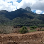
Right after crossing from Kenya to Tanzania at Namanga, the prominent rocky summit of Mt Longido can be seen to the left, seemingly daring climbers to attempt its sheer rock faces. For hikers preparing to do a Kilimanjaro climb, Mt Longido provides a good moderate training hike.
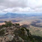
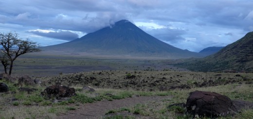
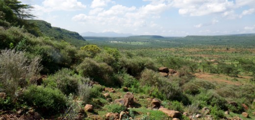
Mt Longido stands desolate on plains that stretch into the horizon, with Oldonyo Orok in Kenya its only neighbor. Other significant mountains within sight are Lengai, Meru and Kilimanjaro, although they are quite some distance away.
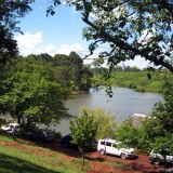
- Mt Longido
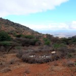
- Maasai goats on Mt Longido
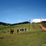
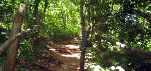
- Hiking up Mt Longido
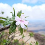
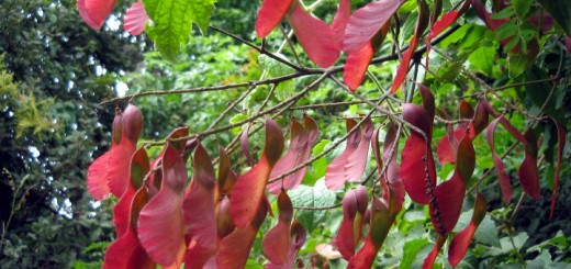
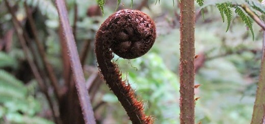
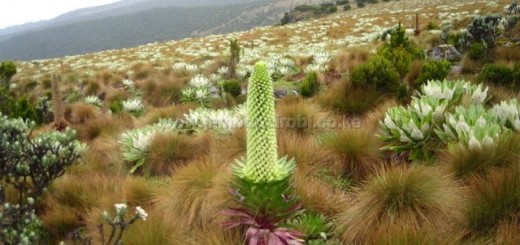
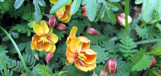
- Wild flower on Longido
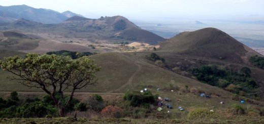
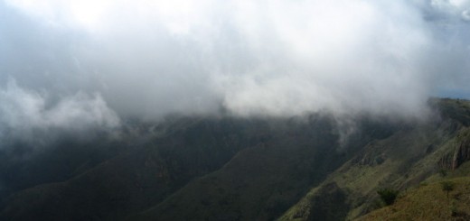
- View of Oldonyo Orok
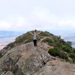
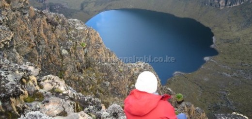
- Eureka moment on Mt Longido
Route Description
The climb up the northern side initially starts with a short but steep climb traversing terrain covered with dry land bushes. Maasai youth graze their cattle on these lower slopes, while living on makeshift shelters for months away from their families. You may come across burnt circles that look like a UFO landing site; these are the remains of abandoned circular livestock corrals the Maasai youth burn when they leave.
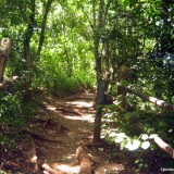
Once past this part of the hike, the vegetation changes to a tropical forest with soft wet ground underfoot, and old man’s beard hanging from most of the trees. This becomes the prevailing flora for the rest of the hike till the last few meters to the summit. Most of the climb here is gentle, with just a few steep sections. It forms a cool pleasant surrounding to explore and generally enjoy the views from.
Getting There
If driving from Nairobi, take Mombasa Road, then turn right at Athi River (30km) on to Namanga Road and drive to the border town of Namanga (165km). Once through with the border formalities, Longido is a further 25km down the road to Arusha.
If using public means, board Namanga Matatus from their Nairobi terminus at OilLibya at the junction of Ronald Ngala St and River Road for the first leg of the journey. Once through with border formalities at Namanga town, take Longido matatus across the border for the rest of the journey.
Accomodation
Visit the Tanzania Cultural Tourism office for directions to a public campsite about 10km out of Longido town. Alternatively, you could stay at one of numerous budget guesthouses in town, or camp next to the Manyatta at the northern starting point of the climb, 10km out of town.
Guides
Get in touch with Mr Alliy Mwako on touryman1@yahoo.comfrom the Tanzania Cultural Tourism office to arrange for a guide.
Entry Requirements
Get the latest fees from Mr Mwako. The rates are negotiable.
