Aberdares Hiking, Southeastern Trail to Oldonyo Lesatima
| Distance from Nairobi | About 170km |
| Starting Point | Wandare roadhead |
| Ending point | Wandare roadhead |
| Walking Duration | 4 hours |
| Terrain | Dirt trails, rocky last section |
| Difficulty | Easy |
Route Description
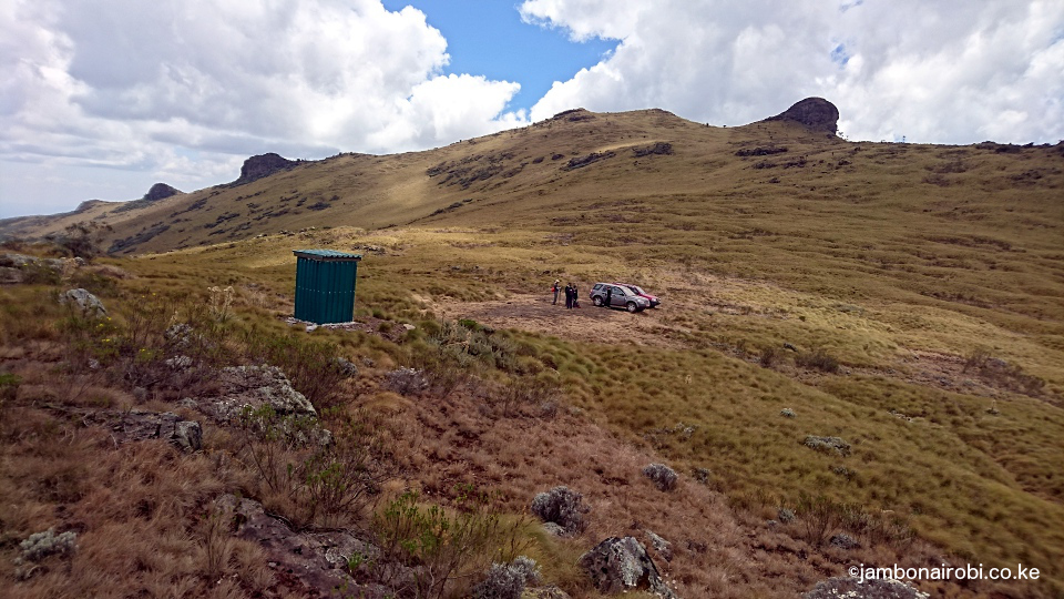
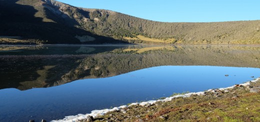
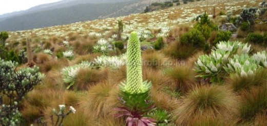
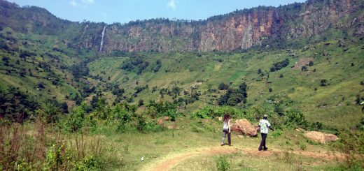
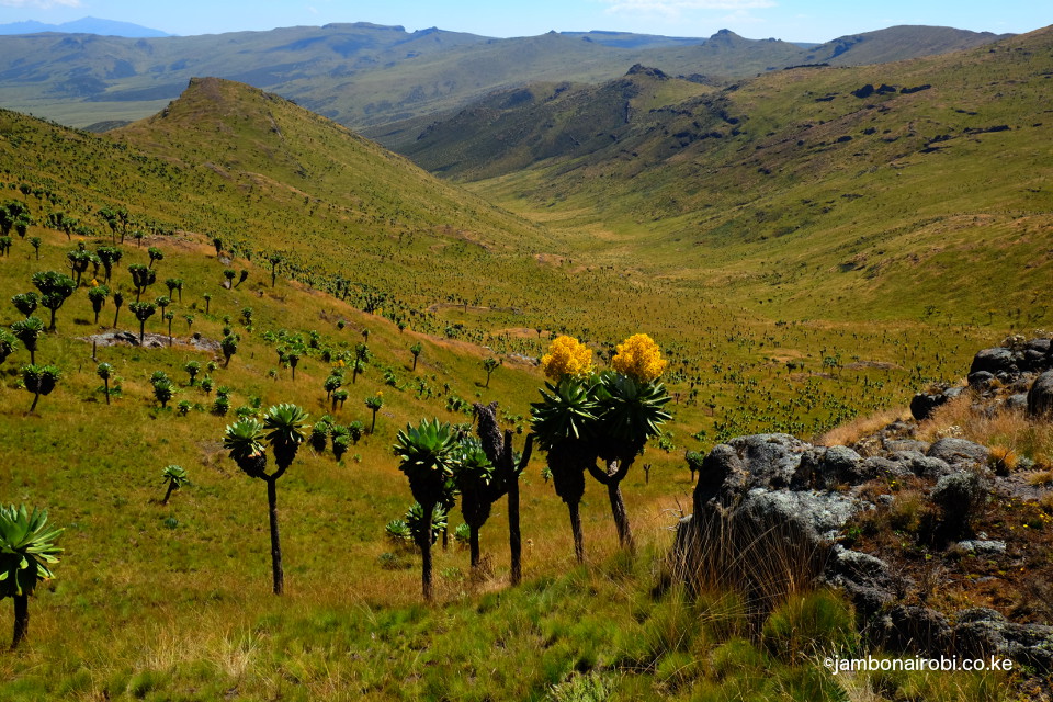
The trail heads to the right, in a fairly straight bearing towards the general direction of the summit, curving slightly as you get closer. About an hour into the hike, to the right, the landscape drops towards Nyeri and Laikipia plains, while to the left is a magnificent view of a V-shaped valley cutting its way towards the southern moorlands. The dramatic ridges framing this valley stretch as far as the eye can see, adorned with majestic Senecio stands on their slopes, creating a most beautiful view. You should see this view when the Senecio are in bloom; absolutely fantastic. In the horizon beyond the valley, you can make out the outline of the Kinangop massif, the second highest summit on the Aberdares range.
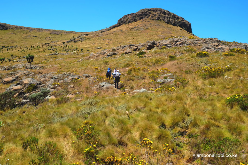
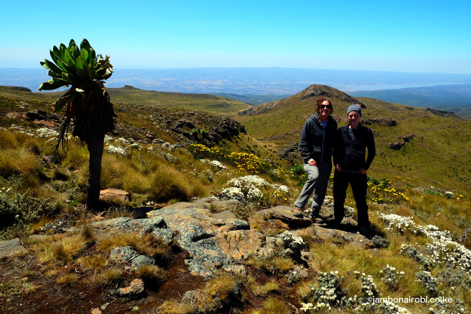
The round trip is about 14km, and takes approximately 4 hours to complete.
Getting There
If driving from Nairobi, the shortest route is through Mutubio Gate on the West side of the Park. Take Nakuru Road and turn right at Flyover, to join the Olkalou Road. Go past Njabini and Engineer till Ndunyu Njeru, where you’ll turn right and drive up to Mutubio Park Gate, 130km from Nairobi. Once inside the Park, drive towards Fishing Lodge, then turn left onto Chania track which goes past the Chania Waterfalls, Elephant Bridge, and Dedan Kimathi hideout, to the intersection with Wandare track. Turn left and continue a short distance to the roadhead.
For those entering the Park through Kiandongoro Park Gate, take Thika Road to Nyeri town, then take the road that goes past Outspan Hotel to the Park Gate and Fishing Lodge nearby, 170km from Nairobi. From here, take the Chania track past the Chania Waterfalls, Elephant Bridge, and Dedan Kimathi hideout, to the intersection with Wandare track. Turn left and continue a short distance to the roadhead.
If entering through Wandare Park Gate, take Thika Road past Nyeri town to Mweiga centre, then turn left to get to the Park Gate, 190km from Nairobi. From here, use the Wandare track all the way to the roadhead.
Guide
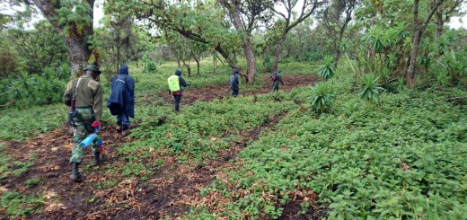
KWS rangers are not trained as guides, and are generally not dependable. If you wish to complete your hike successfully, go with someone who knows the area well, or use GPS to navigate.
Entry requirements
Visitors are required to be accompanied by armed escort from the entry Gate. The official KWS tariffs for Park entry and armed escort are applicable. Call the Senior Warden, Aberdares National Park, in advance on phone number +254 772 171247, or send him an email on aberdaresw@kws.go.ke to make arrangements for your visit.
Only M-Pesa mobile payments are accepted.
