Oloroka, near Oltepesi
| Distance from Nairobi | About 53km |
| Starting Point | Manyattas at base, 5km before Oltepesi |
| Ending point | Manyattas at base, 5km before Oltepesi |
| Walking Duration | 7 hours |
| Terrain | Rocky ground, high grass covering loose rocks in some areas. |
| Difficulty | Moderate, with some steep climbing over boulders. |
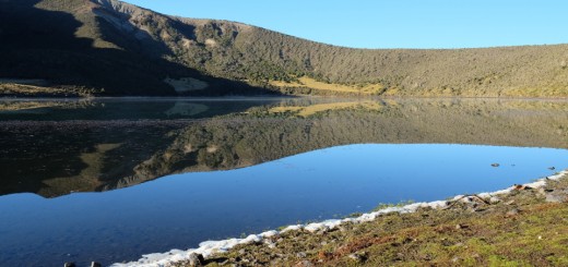
The Oloroka massif standing at 2048m above sea level at its highest (olesekut summit), is one of two mountains flanking the little town of Oltepesi, also known by the locals as Tinga, sitting on the floor of the Great Rift Valley at 1000m above sea level. The other better known Hill southwest of this town is Mt Olorgesaille, next to the world famous Prehistoric site by the same name. Oloroka is about 35km from Kiserian town, and 60km from Nairobi, as you go southwest towards Magadi. The Maasai graze their herds of cattle on its slopes during dry seasons when pasture in the lowlands is exhausted, but for the most part, this hill is not habited.
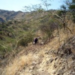
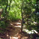
- Rocky trail up Oloroka
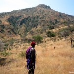
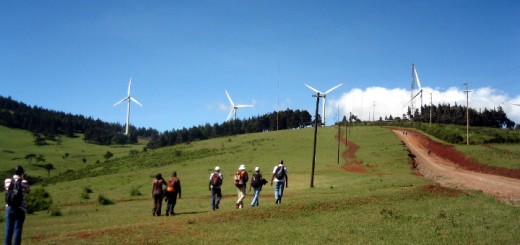
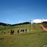
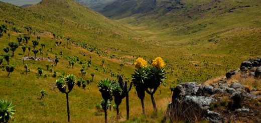
- Dry grassland on Oloroka slopes
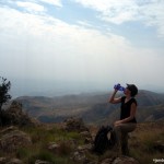
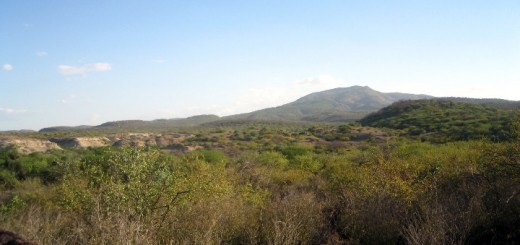
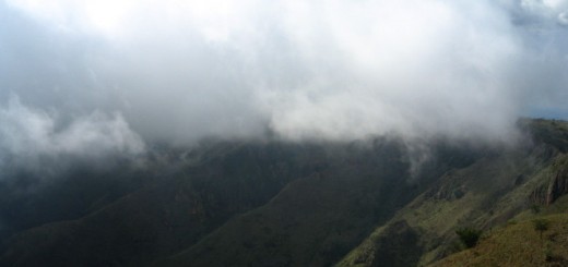
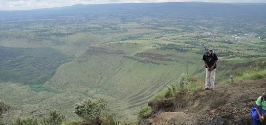
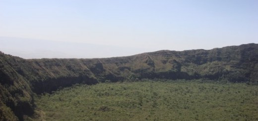
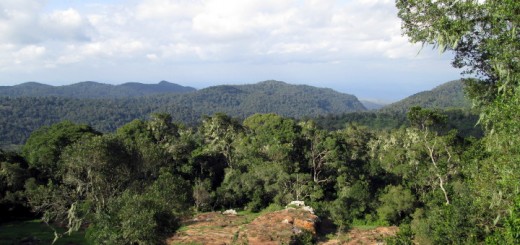
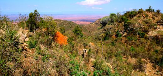
- Amazing views from the top
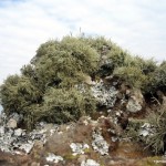
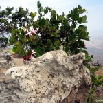
- Lichen on Oloroka
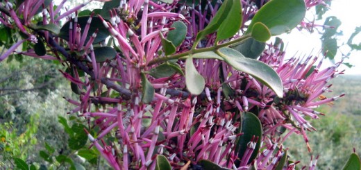
- Wild flowers on Oloroka
Route Description
Being so close to Nairobi, the Oloroka mountain, and its Olesekut summit, is ideal for a day hike. An easy route up this mountain would be the Olesekut hike from the Ngong Hill side. The approach described here is from the rift valley floor to the west. This hike is about 10km long and takes anywhere between 3 to 4 hours to get to the top, and another 3 hours descending. The terrain is mostly rocky and steep, with long grass in the upper areas making every footstep treacherous as you step on loose rocks. As you get higher up, views of the surrounding landscape and the distant hills in all directions are breathtaking. Some interesting plants also seem to thrive at these heights despite the dry conditions on the mountain. There is no discernible trail in the upper reaches due to lack of regular visitors climbing on this side of the mountain. You would therefore be well advised to get a local Maasai guide when doing this trip.
Getting There
If using public means from Nairobi, take Kiserian matatu number 126 from the Nairobi Railway Station. At Kiserian, get another matatu headed down Magadi Road, and alight about 5km before Oltepesi (Tinga).
If driving, take Langata Road, then turn onto Magadi Road at Bomas of Kenya. Drive right past Ongata Rongai, Kiserian, Corner Baridi and Kisamis to Oltepesi where you can get a guide for the hike.
Guides
You need a local guide to hike on this hill since it’s on Maasai community land. The following guides know the local trails, and will also explain the local flora and history.
Paul Kalaile – Tel: +254 714 155872, email: paulnteyierr@gmail.com .
Emmanuel Kaimarish – Tel: +254 704 866745, email: emmanurish@gmail.com
Either of them will need a day’s notice when you schedule a visit.



Dear Jambo Nairobi,
As you know, Olooroka is just next to Olesayieti where I’m the area guide. Kindly include my details as the guide to Oloroka. I’ve been taking tourist to this mountain and hence it will be great to include my contacts here in this site for easy reach by those tourist who do not know me. My email address is paulnteyierr@gmail.com and phone number is 254714155872 . blessing
paul