Mt Kipipiri
| Distance from Nairobi | About 130km |
| Starting Point | Geta Forest Station, Mt Kipipiri |
| Ending point | Miharati centre |
| Walking Duration | 8-9 hours |
| Terrain | Mostly a gentle climb on forest trails to the summit, with a short steep descent beyond. |
| Difficulty | Moderate. |
Mt Kipipiri looms large in the minds of the historically inclined. In its shadow is Wanjohi Valley, the hotbed of hedonism by white settlers from the 1920s to the 1940’s. Numerous books have been written about the lives of some of the colorful residents of the Happy Valley (its more famous moniker) in that period. Their adventurous lifestyle inspired the popular joke “Are you married or do you live in Kenya?” back then.
Landless people were resettled on Mt Kipipiri’s lower slopes after Kenya gained independence, while its upper regions were declared a forest reserve under the care of Kenya Forest Service (KFS). An electric fence was installed around it, preserving a substantial part of its indigenous forests for posterity.
Lately, interest in Mt Kipipiri has been growing, perhaps because it’s virgin territory for the hiking community, or due to the allure of Happy Valley’s racy stories. Whatever the reason, it’s a delightful place to go hiking and camping.
- Lower slopes
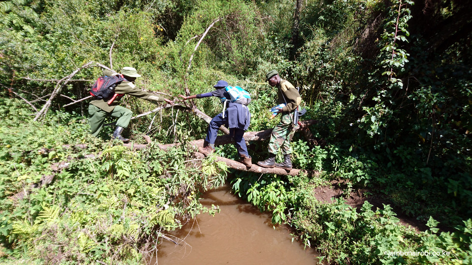
- River crossing
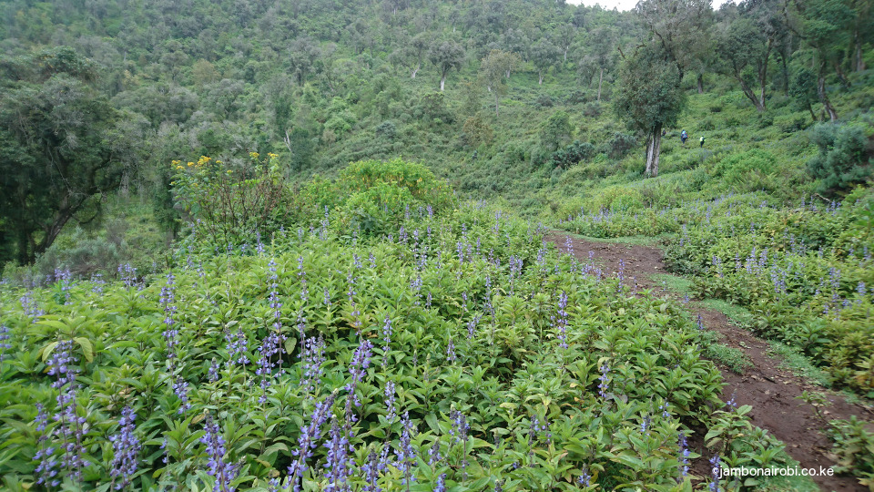
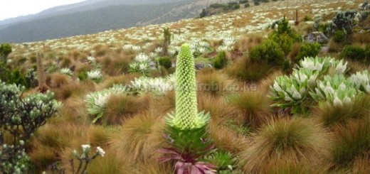
- wildflower beds
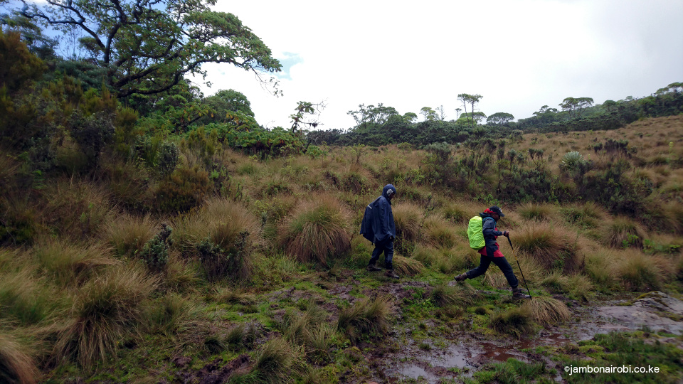
- Marshes
- Forest walk
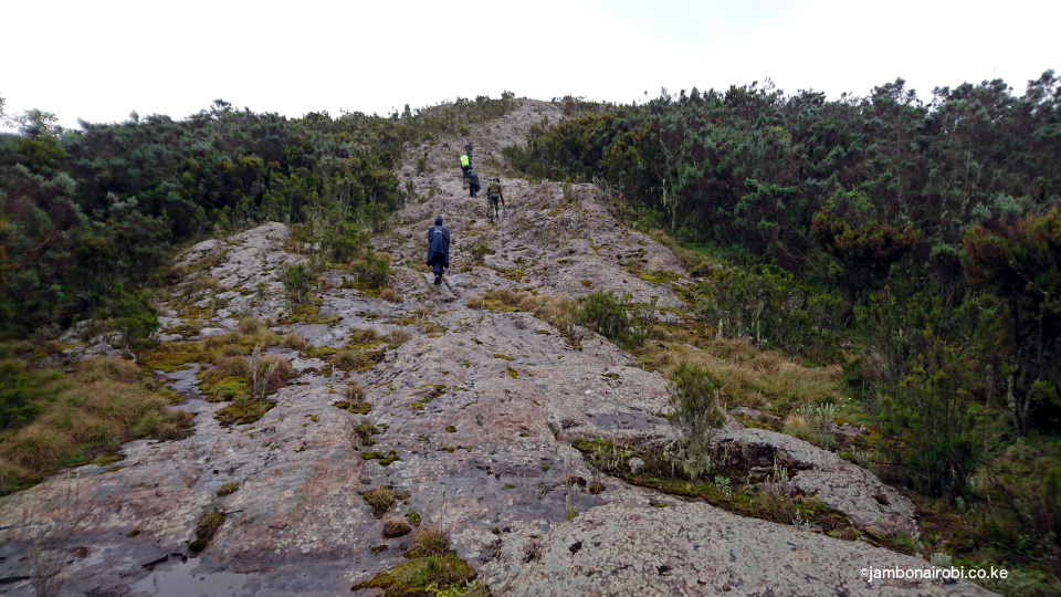
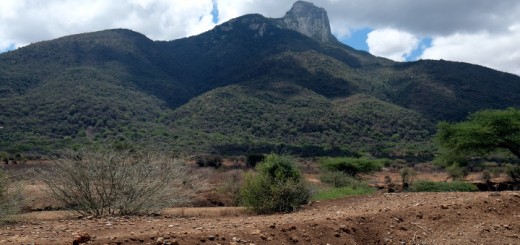
- Summitting
Route Description
Hiking up Mt Kipipiri generally starts at the Geta Forest Station on the southeastern end of the mountain. The complete hike takes 8-9 hours to Miharati on the northwestern end, after a gentle climb from Geta at 2500m above sea level (asl), to 3345m asl at its summit, then back down to 2430m.
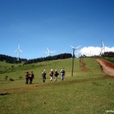
The first sections of the trail are tracks used by tractors harvesting trees from plantations on the lower slopes. These soon peter out to be replaced by animal trails on open meadows with the occasional river crossings.
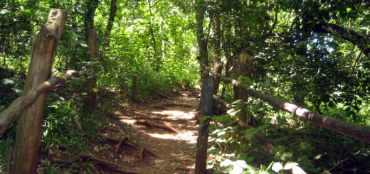
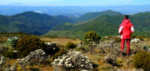
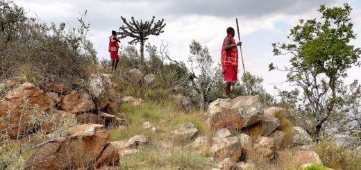
Two hours into the hike, the forest changes from the exotic to indigenous trees with lots of undergrowth. The meadows turn to expansive beds of colourful wild flowers, with views of the valleys below dotted with houses, fences and farms appearing from various vantage points. In some places, the trail ducks under the forest canopy, only to emerge again shortly. Interestingly, you’ll also encounter local game that happens to be cattle (mostly bulls) driven into the bountiful forest by the neighbouring community and left there for years to fend for themselves, until they are old enough for slaughter. The owners apparently pop into the forest occasionally to supply the stock with salts and administer vaccinations.
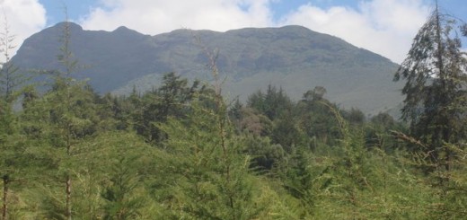
A brief pause at a rocky patch halfway to the summit affords you excellent views of the valleys to the east and south, and the slopes of the Aberdares Range. The rest of the way to the summit is undulating, with some drops into small valleys, followed by gentle climbs. As you get closer, you’ll encounter some marshy sections dotted with clumps of tussock grass that offer convenient stepping points to avoid the soggy ground. Once past these hurdles, you’ll notice the conspicuously large rock that is Mt Kipipiri’s summit. Getting up there is an easy short climb, rewarded with the fantastic, previously unseen panoramas north and west of the mountain. The shimmering Lake Ol Bolosat is clearly visible to the north, while Lake Naivasha can be seen to the west.
The descent is a short steep affair through some forested areas, eventually breaking out onto farmlands after crossing the Electric fence. Miharati is on the Njabini – Ol Kalou tarmac road, a short walk from the forest edge.
At Miharati, you can get public transport back to Nairobi, or to Ndunyu Njeru if you had parked your car at Geta.
Caution: Carry rain gear and warm clothes, as the area rains a lot, and at this altitude, temperatures often drop to single digit.
Getting There
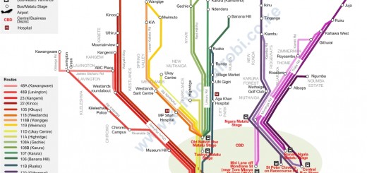
If using public means to Mt Kipipiri, take Ndunyu Njeru Matatus from Old Nation House matatu stage. At Ndunyu Njeru, you can get local taxis or boda boda (taxi motorbikes) to Geta, about 12km away.
If driving from Nairobi, use Nakuru Road on the upper escarpment for about 60km to a place known locally as flyover. Go over the flyover, then a few meters on, turn left at the next junction and drive about 24km to Njabini town. Turn left onto Ol Kalou Road, drive to Engineer, then turn right to go to Ndunyu Njeru junction, where you’ll turn right onto a murram road. The market is just a kilometer off the road, while Geta will be another 12km further up this rough road.
Although the distance from Nairobi to Geta is about 130km, it takes at least 3 hours to get there due to the rough section.
Entry Requirements
The KFS rates are currently Ksh 200.00 per day for citizens, Ksh 400.00 for residents, and Ksh 600.00 for non-residents, to be paid through M-Pesa. You’ll also be expected to tip the armed forest rangers, your guides on the hike.
Call KFS (Kariuki) in advance on +254 724 239858 to notify them when you plan to visit.
Camping
The 3-hour travel time from Nairobi to Geta, followed by a 9-hour hike means that you may need to camp overnight. The KFS rangers can advice you on the closest campsites you can find the area.









Very nice information from A to Z of the journey. Looking forward to hike my.Kipipiri on may
Thank you for the info
Thanks Georges
Thanks for marketing my home area. I come from Geta, Rutuba village. Apart from vegetation and physical features, there are various species of birds and colobus monkeys which will spice up your hiking expeditions .
Happy to highlight Mt Kipipiri’s attractions.