Sekerr Range, Mt Mtelo Hiking
| Distance from Nairobi | About 480km |
| Starting Point | Marich Pass FIeld Studies Centre |
| Ending point | Mt Mtelo Summit |
| Walking Duration | 2 days |
| Terrain | Dirt road, farmlands and forest trails closer to the summit. |
| Difficulty | Moderate |
 The first time you venture up the Sekerr range when hiking up Mt Mtelo in West Pokot, you’d be forgiven for throwing furtive looks at every bush, expecting the rat-a-tat sound of gunfire to break out any moment, thanks to the stereotype bandied about of Pokot herders as gun-toting cattle rustlers. Far from this grim picture, the local community on the mountain, the highland Pokot, have practiced peaceful farming for ages. The cool climate and lush landscapes on these highlands come as a pleasant surprise to many first time visitors to this gem in a less trodden corner of the country. Some of the areas inhabited by the lowland Pokot have also been transformed into a fruit-producing region, a radical departure from the traditional pastoralist lifestyle of the lowland Pokot community.
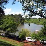
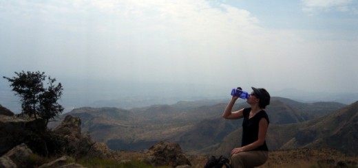
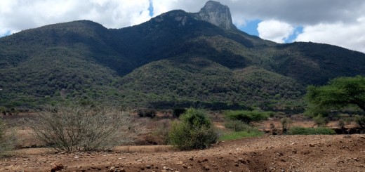
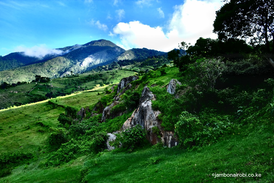
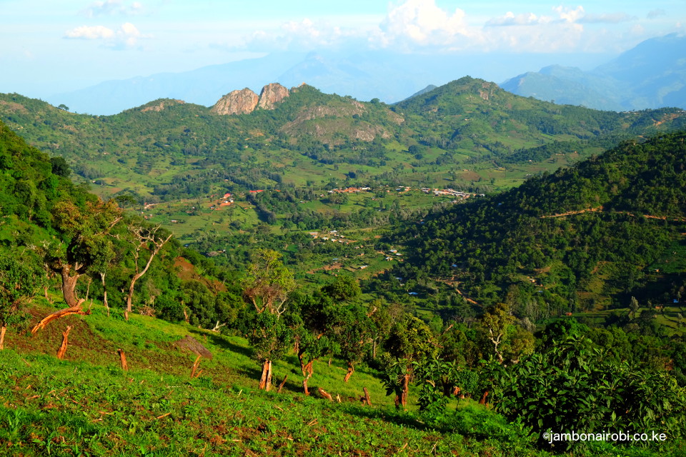
Mt Mtelo is the fifth highest in Kenya, after Mt Kenya, Mt Elgon, Aberdares, and Cherangani Hills. Overlooking the Turkana plains on one side, and the Cherangani Hills on the other, it offers great views all round. The Marich Pass Field Studies Centre is an ideal base for hiking up Mt Mtelo on Sekerr range. It takes two days to reach the summit and get back down.
Route Description
Marich Pass Field Studies Centre to Mtelo View Lodge
From the Marich Pass Field Studies Centre, head towards Kainuk on the A1 for 2km, then turn left onto the signposted dirt road heading up the Sekerr Range. Alternatively, you can get a boda boda (motorbike taxi) to the turnoff, and start walking from there.
Starting at an altitude of 950m, the track initially traverses terrain covered in dry land bushes, extending almost halfway up the Sekerr Range. As the gradient turns sharply upwards, the track changes to a “cement rail” that ends at a telecommunication mast, enabling vehicles negotiate the steep slope. It then reverts back to a dirt track going deeper and higher up the mountain range, past the Chetinon trading centre, then lower Mariny trading centre, where you’ll encounter a fork. Take the right track, which drops into a valley. This will take you past a site where local women engage in gold mining. Shortly after this, you’ll get to a 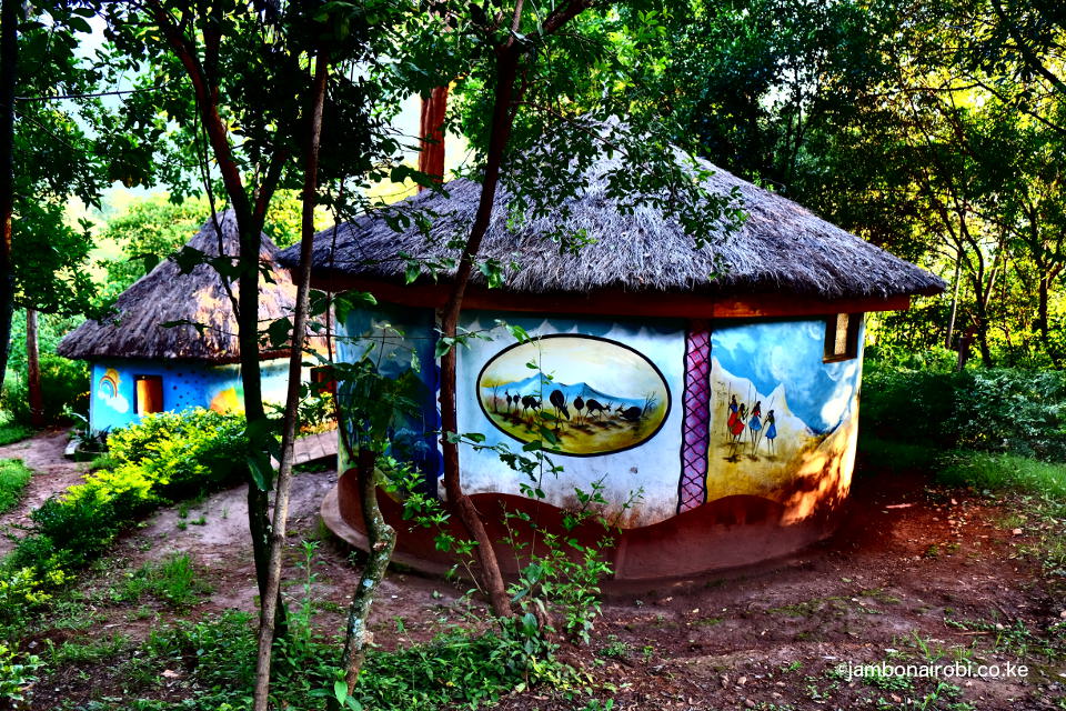 T-junction at the Mungat trading centre. Turn right and you’ll find Mtelo View Lodge a further 500m on the left side, opposite a School on the right, at an altitude of 1950m.
The whole walk takes you from hot scrublands to cool lush highlands in a period of about 4 hours over a distance of 15km. Most of the highlands along the way are farms whose produce supplies food to the lowland Pokot and Turkana regions.
If you do not wish to undertake this walk, John Ywalasiwa, the proprietor of Mt Mtelo View Lodge, can arrange transportation for you from the Marich Pass Field Studies Centre.
Mt Mtelo Day Hike
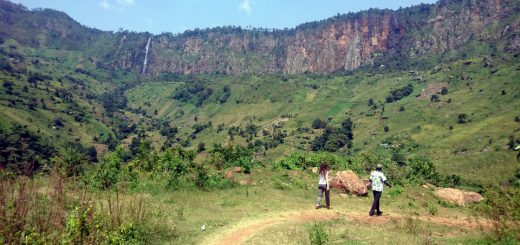
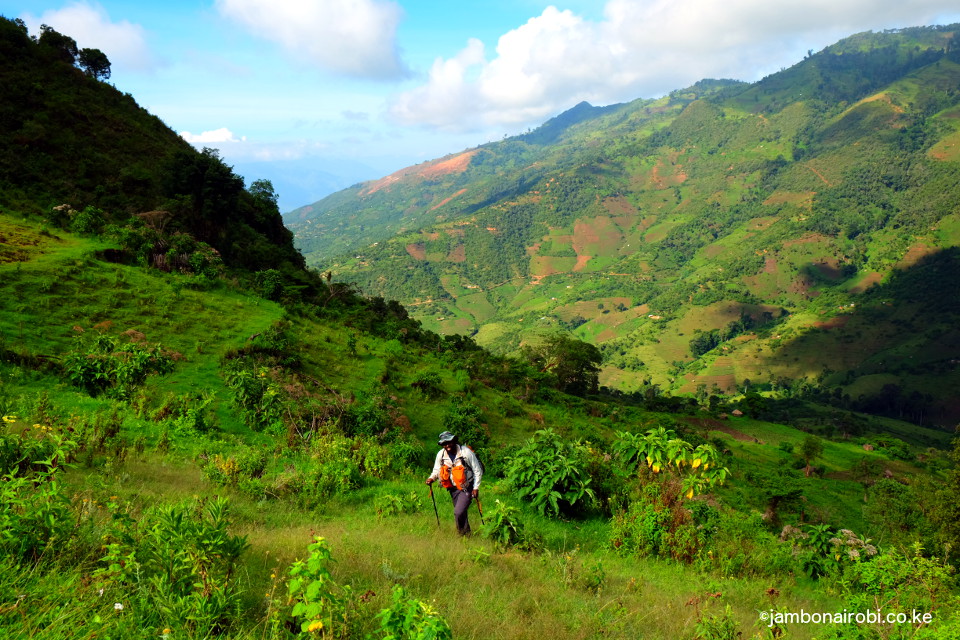 After setting out from the Lodge, you’ll initially go past Mungat Centre, then take a right turn and descend to a river crossing. Shortly after climbing out of the valley, you’ll veer off onto small trails crossing some of the farms on the hillside to your right. In the morning, the high cliffs of Mt Katugh to your right will shade you from the rising sun, as the climb gets fairly steep. The trail levels off briefly at Katugh Pass, a pleasant meadow at 2400m above sea level, with views of Moruny River in the distance to your right, and undulating hills and valleys to your left. This is also where human settlements end, to be replaced by flora that generally thrives at high altitude.
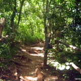
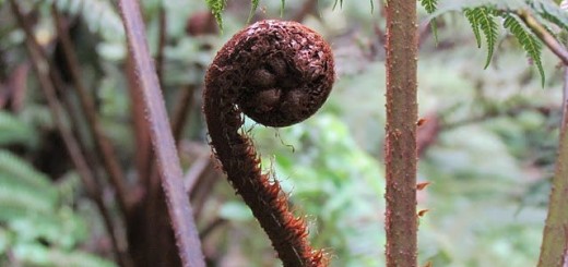
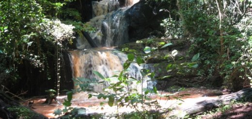
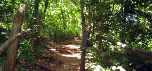
 About 3 hours into the hike, the trail finally takes you into what’s left of the Montane forest that once covered the whole mountain. Bamboo that would ordinarily be growing thick is sparse. The huge indigenous tree species are widely dispersed, some toppled by the increased surface water runoff. Centuries of leaf fall that once carpeted the forest floor, acting as a sponge, is rapidly getting washed away, no longer able to slow down the headlong rush of rainwater down the mountainsides. Colobus Monkeys and Turaco birds still play and forage in the forest, blissfully unaware of the gradual disappearance of their habitat. There is still hope for the forest’s recovery though, if logging is stopped.
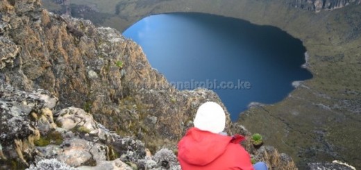
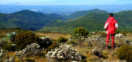
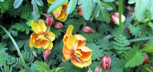
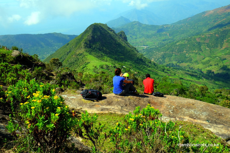
Once you get past 3000m above sea level, the forest gives way to alpine flora; Protea, Giant Heather, Everlasting, among others, as you make your last push up Mt Mtelo. The views from this location are magnificent, with the forest and Mt Katugh beneath you, and the distant Cherangani Hills now visible. The trail finally levels off at 3,336m above sea level at Mt Mtelo summit, about 5 hours from the start.
The round trip for this hike should take you anywhere from 8-10 hours, depending on you fitness level, and how often you pause to take in the sights, sounds and smells of the surroundings.
Getting There
If using public means, take Kitale buses from Machakos country bus station in Nairobi, or Kitale matatus from their terminus near the Nairobi Railway station. Once in Kitale, take matatus or buses to Makutano (Kapenguria juction). From here on, John Ywalasiwa, the proprietor of Mt Mtelo View Lodge, can make arrangements for your transport to Marich Pass Field Studies Centre, or to his Lodge on Sekerr.
If driving from Nairobi, use Nakuru Road on the upper escarpment, and drive past Nakuru, Eldoret and Kitale till Marich Pass Field Studies Centre. 2km further along this road, take the signposted left turn and drive along the “cement rail” to the telecommunication mast, and continue on the dirt track till the T-junction at the Mungat centre. You’ll find the Lodge a short distance to your right.
The total distance from Nairobi to Marich Pass Field Studies Centre is about 480km.
Guide
Contact the proprietor of Mt Mtelo View Lodge to make arrangement for a guide.
John Ywalasiwa
+254 0718 281729, 0737 941400
Accommodation
John Ywalasiwa – Director
+254 0718 281729, 0737 941400
Marich Pass Field Studies Centre
Paul Roden – Director
Email: marich.pass@gmail.com